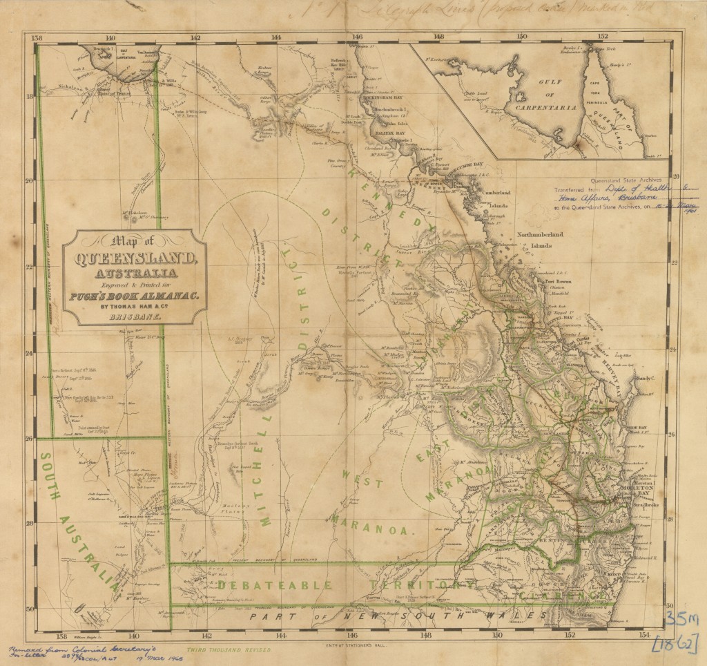
The following map of Queensland c 1862 clearly defines the beginnings of the districts, the development of Queensland’s borders, the inclusion of the emerging townships, and the subsequent evolution, of this enormous colony of Australia . . .
Click on the image of the Map to retrieve a higher resolution of this fascinating document.
.
.
View other important events in Queensland’s History . . .
