All Town Centre & Info
Featured
Verified
Favourite
Category: Town Centre & Info
Clarence River-Iluka NSW forecast Longitude: 153.351972 Latitude: -29.408445 Metres above Sea Level: 7.9 m Area: 13.0 km² Perimeter: 18.4 km View Iluka’s Statistics & Demographics . Exiting the Pacific Highway onto Iluka Road, the journey delights with the most magnificent and varied sceneries for the 18 km drive to Iluka in New South Wales. The small seaside Read more…
Featured
Verified
Favourite
Category: Town Centre & Info
Raymond Island Weather Longitude: 147.726801 Latitude: -37.920267 Metres above Sea Level: 7.2 m Area: 25.4 km² Perimeter: 23.9 km View Raymond Island’s Statistics & Demographics . Raymond Island is accessed via ferry from Paynesville. A relatively small island of some 6 km in length and 2 km in width, the island has materialised due to millennia of Read more…
Featured
Verified
Favourite
Category: Town Centre & Info
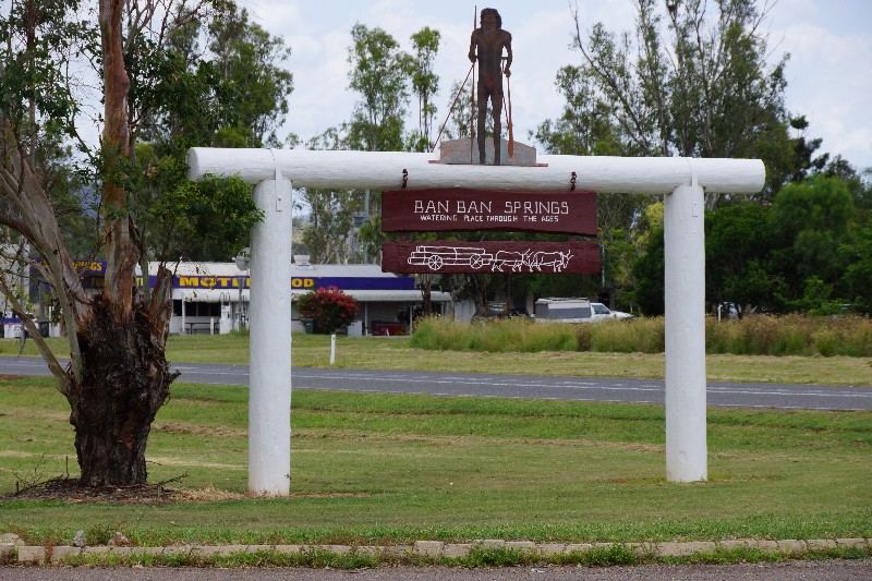
Up to date weather for Ban Ban Springs Longitude: 151.815329 Latitude: -25.680684 Metres above Sea Level: 151.0 m Area: 20.5 km² Perimeter: 23.5 km . ” . . . On May 31st [1848] they camped at what is described in Charles Archer’s diary as one of the most remarkable spots that he had ever seen in the Read more…
Featured
Verified
Favourite
Category: Town Centre & Info
https://www.willyweather.com.au/vic/mornington-peninsula/mccrae.html Longitude: 144.922200 Latitude: -38.351049 Metres above Sea Level: 10.3 m Area: 4.29 km² Perimeter: 8.97 km View McCrae’s Statistics & Demographics . … . Plan your trip to McCrae here Discover McCrae via POI Australia’s Interactive Map, or, acquaint yourself with McCrae‘s – Points of Interest – Things to Do – Accommodation – Dining Out – Read more…
Featured
Verified
Favourite
Category: Town Centre & Info
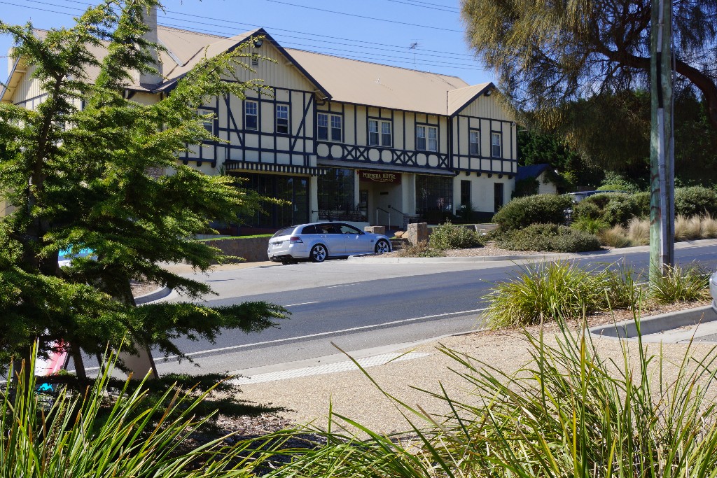
https://www.willyweather.com.au/vic/mornington-peninsula/portsea-pier.html Longitude: 144.714112 Latitude: -38.320035 Metres above Sea Level: 8.5 m Area: 11.3 km² Perimeter: 23.2 km View Portsea’s Statistics & Demographics Travelling Point Nepean Road toward Point Nepean, the approach to Portsea is adorned by a beautiful avenue of enormous Cypress Pines, believed to have been planted by the founding pioneer of Portsea – James Sandle Read more…
Featured
Verified
Favourite
Category: Town Centre & Info
Torquay Weather Longitude: 152.868469 Latitude: -25.284289 Metres above Sea Level: 7.3 m Area: 4.33 km² Perimeter: 9.59 km View Torquay’s Statistics & Demographics . Torquay is one of the original five seaside villages that now form part of the City of ‘Hervey Bay’ (proclaimed on the 18th February 1984). Enjoying some 2.6 km of coastline, the beautifully landscaped foreshore overlooks Read more…
Featured
Verified
Favourite
Category: Town Centre & Info
weather for Gayndah Longitude: 151.611157 Latitude: -25.625793 Metres above Sea Level: 111.0 m Area: 68.4 km² Perimeter: 52.3 km View Gayndah’s Statistics & Demographics . Gayndah, Queensland’s Oldest Town !!! Set on the banks of the Burnett River in Queensland, Gayndah is reported to have once rivalled Brisbane and Ipswich to become the capital of the new Read more…
Featured
Verified
Favourite
Category: Town Centre & Info
welshpool weather information Longitude: 146.436931 Latitude: -38.665612 Metres above Sea Level: 22 m Area: 58.8 km² Perimeter: 45.4 km View Welshpool’s Statistics & Demographics . The appealing township of Welshpool is located approximately 200 km from the centre of Melbourne, along the South Gippsland Highway. The South Gippsland coast area boasts so many varied and stunning landscapes – Read more…
Featured
Verified
Favourite
Category: Town Centre & Info
Rye Pier VIC forecast Longitude: 144.822075 Latitude: -38.370355 Metres above Sea Level: 7.9 m Area: 17.8 km² Perimeter: 19.9 km View Rye’s Statistics & Demographics . The beautiful suburb of Rye located on Victoria’s Mornington Peninsula is lined by stunning bay beaches on its northern shores, whilst the wild ocean beaches of Bass Strait line its southern perimeter. In fact, the Read more…
Featured
Verified
Favourite
Category: Town Centre & Info
Byron Bay weather info Longitude: 153.612269 Latitude: -28.644149 Metres above Sea Level: 7.7 m Area: 18.6 km² Perimeter: 32.6 km View Byron Bay’s Statistics & Demographics . Cape Byron, named by Captain James Cook in honour of Captain John Byron in 1770, is the most easterly point of the entire Australian mainland: “Tuesday, 15th [May 1770]. Fresh Read more…
Featured
Verified
Favourite
Category: Town Centre & Info
wheather forecast Longitude: 147.400056 Latitude: -38.210737 Metres above Sea Level: 14 m Area: 25.1 km² Perimeter: 53.5 km View Golden Beach’s Statistics & Demographics . Following the road from Longford, past the intersection to Loch Sport; crossing the shallow Lake Reeve, which is most often is quite dry and so expansive that mirages appear; the road splits and becomes Read more…
Featured
Verified
Favourite
Category: Town Centre & Info
https://www.willyweather.com.au/nsw/far-north-coast/brunswick-heads.html Longitude: 153.550252 Latitude: -28.540617 Metres above Sea Level: 6.5 m Area: 14.9 km² Perimeter: 19.1 km View Brunswick Heads’ Statistics & Demographics . Brunswick Heads is nestled amidst the Brunswick River (named by Captain Rous after Queen Caroline of Brunswick, Germany) and Simpsons Creek (named in honour of Captain Simpson – noting that during the mid 1860’s Brunswick Read more…
Featured
Verified
Favourite
Category: Town Centre & Info
Today's weather in Arthurs Seat Longitude: 144.950845 Latitude: -38.353562 Metres above Sea Level: 309.5 m Area: 8.78 km² Perimeter: 13.9 km View Arthurs Seat’s Statistics & Demographics . H.M. Survey Vessel ‘Lady Nelson’, under the command of Lieutenant Murray, was the first to enter Port Phillip Bay, at which time he named Arthurs Seat: ” . . Read more…
Featured
Favourite
Category: Town Centre & Info
tootgarook forecasts Longitude: 144.856509 Latitude: -38.368339 Metres above Sea Level: 8.3 m Area: 3.47 km² Perimeter: 8.31 km View Tootgarook’s Statistics & Demographics . … . Plan your trip to Tootgarook here Discover Tootgarook via POI Australia’s Interactive Map, or, acquaint yourself with Tootgarook‘s – Points of Interest – Things to Do – Accommodation – Dining Out – Read more…
Featured
Verified
Favourite
Category: Town Centre & Info
marlo weather forecast Longitude: 148.530677 Latitude: -37.795954 Metres above Sea Level: 18 m Area: 135 km² Perimeter: 84.5 km View Marlo’s Statistics & Demographics . Marlo is a tiny seaside village located on the banks of the mighty Snowy River – just before it flows out into the ocean. The foreshore area boasts wonderful walking trails through the Read more…
Featured
Verified
Favourite
Category: Town Centre & Info
Today's weather in Blairgowrie Longitude: 144.778547 Latitude: -38.360739 Metres above Sea Level: 6.3 m Area: 6.24 km² Perimeter: 12.3 km View Blairgowrie’s Statistics & Demographics . … . Plan your trip to Blairgowrie here Discover Blairgowrie via POI Australia’s Interactive Map, or, acquaint yourself with Blairgowrie‘s – Points of Interest – Things to Do – Accommodation – Read more…
Featured
Verified
Favourite
Category: Town Centre & Info
https://www.willyweather.com.au/vic/mornington-peninsula/rosebud.html Longitude: 144.906193 Latitude: -38.355177 Metres above Sea Level: 9.7 m Area: 16.4 km² Perimeter: 21.5 km View Rosebud’s Statistics & Demographics . The seaside town of Rosebud, nestled on a stretch of beach on the bay-side of the Mornington Peninsula, acquired the name from the two-masted schooner, ‘Rosebud’, that was wrecked on the sandbar in the Read more…
Featured
Verified
Favourite
Category: Town Centre & Info
childers's weather Longitude: 152.278106 Latitude: -25.236226 Metres above Sea Level: 113.0 m Area: 19 km² Perimeter: 31.2 km View Childer’s Statistics & Demographics . Situate some 20 km (as the crow flies) inland from the coast, the historic township of Childers in Queensland, is beautifully positioned along the ridge of a hill, thereby bestowing the most magnificent Read more…
Featured
Verified
Favourite
Category: Town Centre & Info
sorrento's weather Longitude: 144.739361 Latitude: -38.339355 Metres above Sea Level: 20.5 m Area: 7.08 km² Perimeter: 15.5 km View Sorrento’s Statistics & Demographics . Sorrento is in fact the location of the very first attempt at settlement by Europeans in the Port Phillip Bay area. Lieutenant Collins arrived with a fleet of ships in the year 1803, landing Read more…
Featured
Verified
Favourite
Category: Town Centre & Info
seaspray's weather Longitude: 147.187196 Latitude: -38.378866 Metres above Sea Level: 5 m Area: 50.8 km² Perimeter: 40.0 km View Seaspray’s Statistics & Demographics . Nestled behind the sand dunes of the Ninety Mile Beach, Seaspray is a destination for those who love the raw, powerful, untamed beauty of the Australian coastline. Ascending the sand dunes as the warm, Read more…
