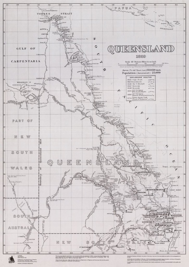
The following map, dated 1859, depicts a remarkable accurateness within a pictorial record of the new colony of Queensland, proclaimed on the 6th June of that very same year.
It also records the routes of some of the early explorers, who traversed through thick jungles, immense deserts, mountain ranges, uncharted rivers and oceans – literally in order to put Queensland ‘on the map’ . . .
Click on the image of the Map to retrieve a higher resolution of this fascinating document.
.
.
View other important events in Queensland’s History . . .
